New York Maps Home > New York Map Collection > Downtown Brooklyn Map
Printable Map of Downtown Brooklyn
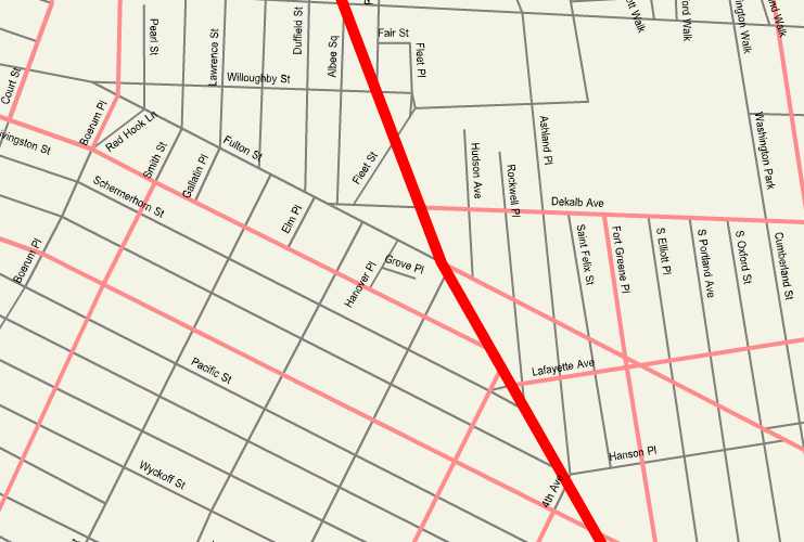
The map above is a classic plot showcasing the geography of this area of interest with a classic diversity of details.
You may always store this image and use it for many purposes. Citing this page is very much appreciated.
If you are looking for assistance obtaining a map, a specific map, or are looking for a superior custom-made creation, you can contact YellowMaps.
Purchase good custom maps from us. Cuztomized maps by YellowMaps consist of a refreshing medley of map components, for example: highways, scale bar, coordinates, capes, lakes, seas, glaciers, or river features, etc. Types of maps run from political to satellite, printed to electronic, global to congressional districts.
Superior maps are accurate, current, and not old. Expert map production by YellowMaps.
To buy paper maps, like navigational charts, attractions maps, or hiking maps, you can dive into our map store It contains more than 100,000 products.
A lot of our maps get printed on-demand. They are always available.
Back to New York map collection