New York Maps Home > New York Map Collection > Queens Map
Printable Map of Queens
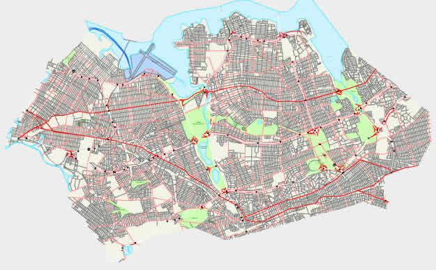
The above map image is a classic diagram that lays out the locations of this locality with a plain variety of details.
You may view this map and make use of it in your projects. Giving credit to this webpage is very much appreciated.
In the event you are hoping for support getting a map, a distinct kind of map, or are hoping for a first-rate custom-built product, I suggest you email us.
Order good customized maps from us. Our custom-made maps cover a generous medley of map elements, such as: avenues, legend, UTM coordinates, campsites, indian reserves, oceans, craters, or plains, etc. Types of custom maps range from regional to navigational, printable to printed, county level to economic places.
First-Rate maps are meticulous, current, and not out-of-date. Finest map design by YellowMaps.
To procure actual maps that get delivered in the mail to your home, for instance road atlases, tourist maps, or maps for kayaking, quickly go to our online map store You can find tens of thousands map products.
A lot of our maps get printed on-demand. They are always available.
Back to New York map collection