New York Maps Home > New York Map Collection > Staten Island Map
Printable Map of Staten Island
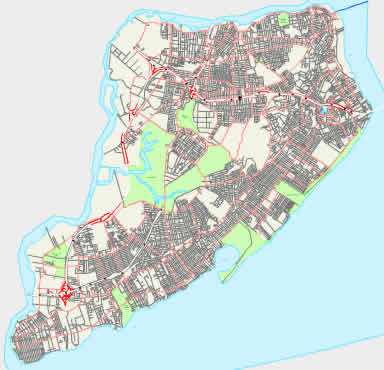
The above is a plain depiction showcasing the geography of this locale with a basic combination of elements.
You can view this map and make use of it for a variety of purposes. Citing this page would be awesome.
If you desire support getting a map, a particular map, or desire a good custom-made creation, simply email us.
Order great individualized maps from us. Our custom maps consist of a wonderful collection of features, e.g.: streets, map projection, coordinates, bays, marine navigation features, oceans, cliffs, or railway features, etc. Types of custom maps range from geological to blank, digital to hardcopy, regional to urban areas.
Good maps are accurate, all-encompassing, and not old. Skillful cartography by YellowMaps.
To purchase actual maps that get delivered in the mail to your home, e.g. wall maps, country maps, or hiking maps, please pay a visit to our online map store We carry tens of thousands products.
Have trouble printing or downloading this map? Just contact us.
Back to New York map collection